


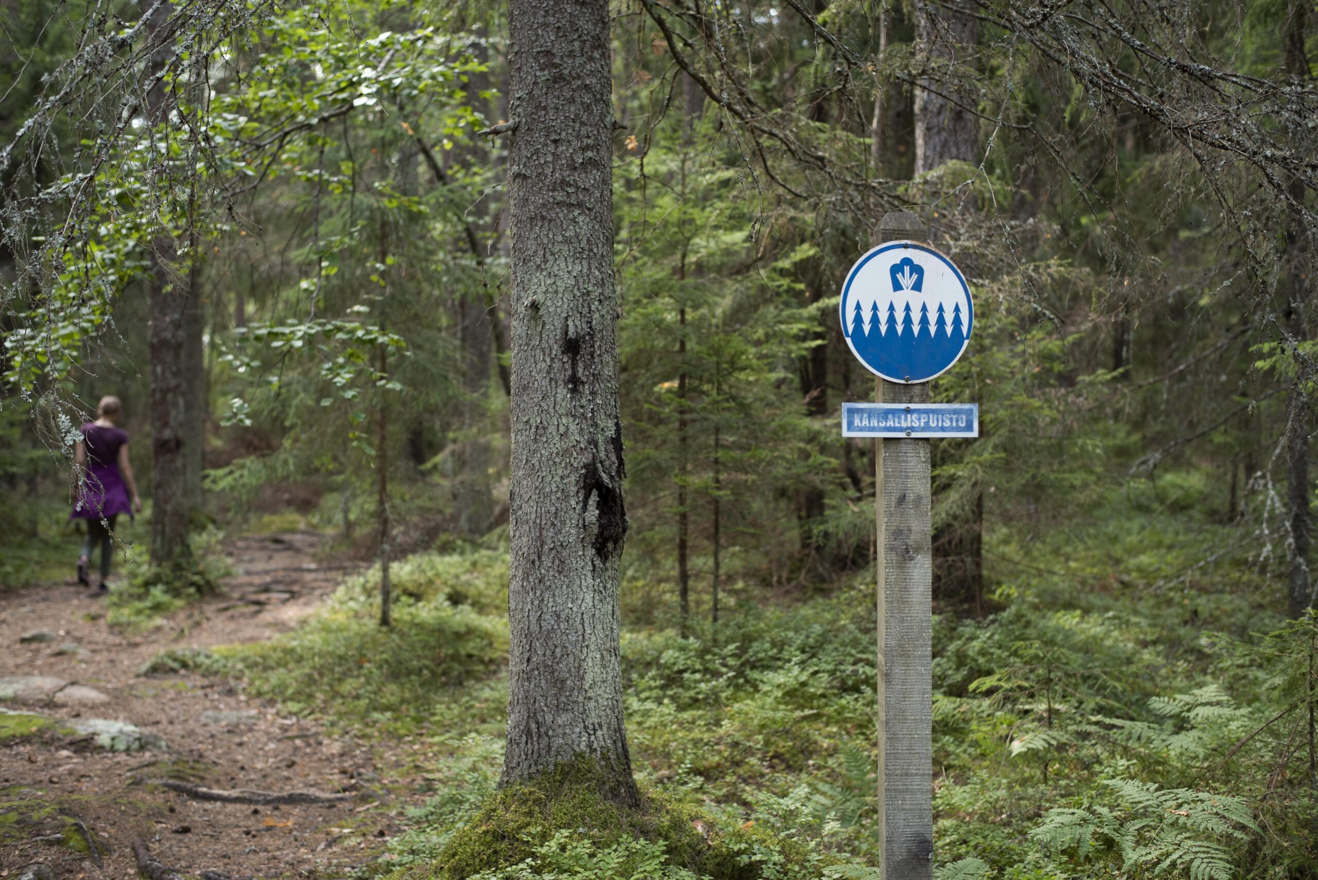
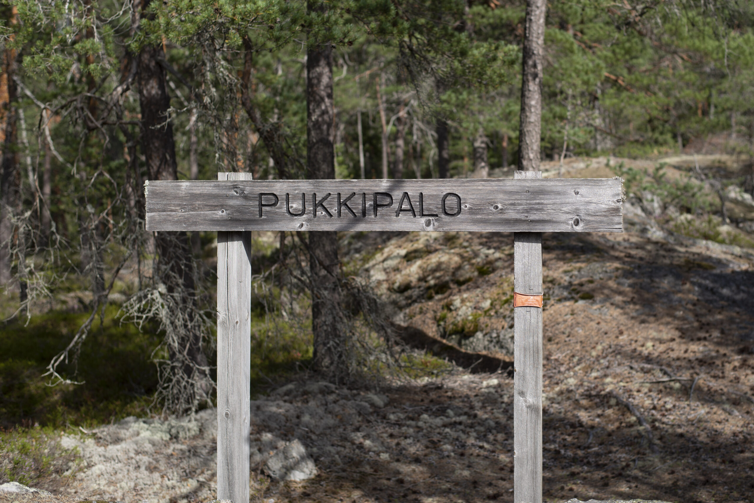
The Pukkipalo trail is one of the most popular sections in the Kuhankuono network. And with good reason: one of the finest old-growth forest sites in Southwest Finland – the Pukkipalo primaeval forest area – lies along this route. If you want to see a forest that has developed without being disturbed by human hands, this is the best place to visit. Pukkipalo and the surrounding areas are in the Kurjenrahka National Park, so they will remain safe from the forester’s axe well into the future.
The Pukkipalo trail is easy to walk at the start, although the Huhtaniitunmäki and Takaniitunvuori rocks are more challenging. The route takes over three hours to walk at a relaxed pace.
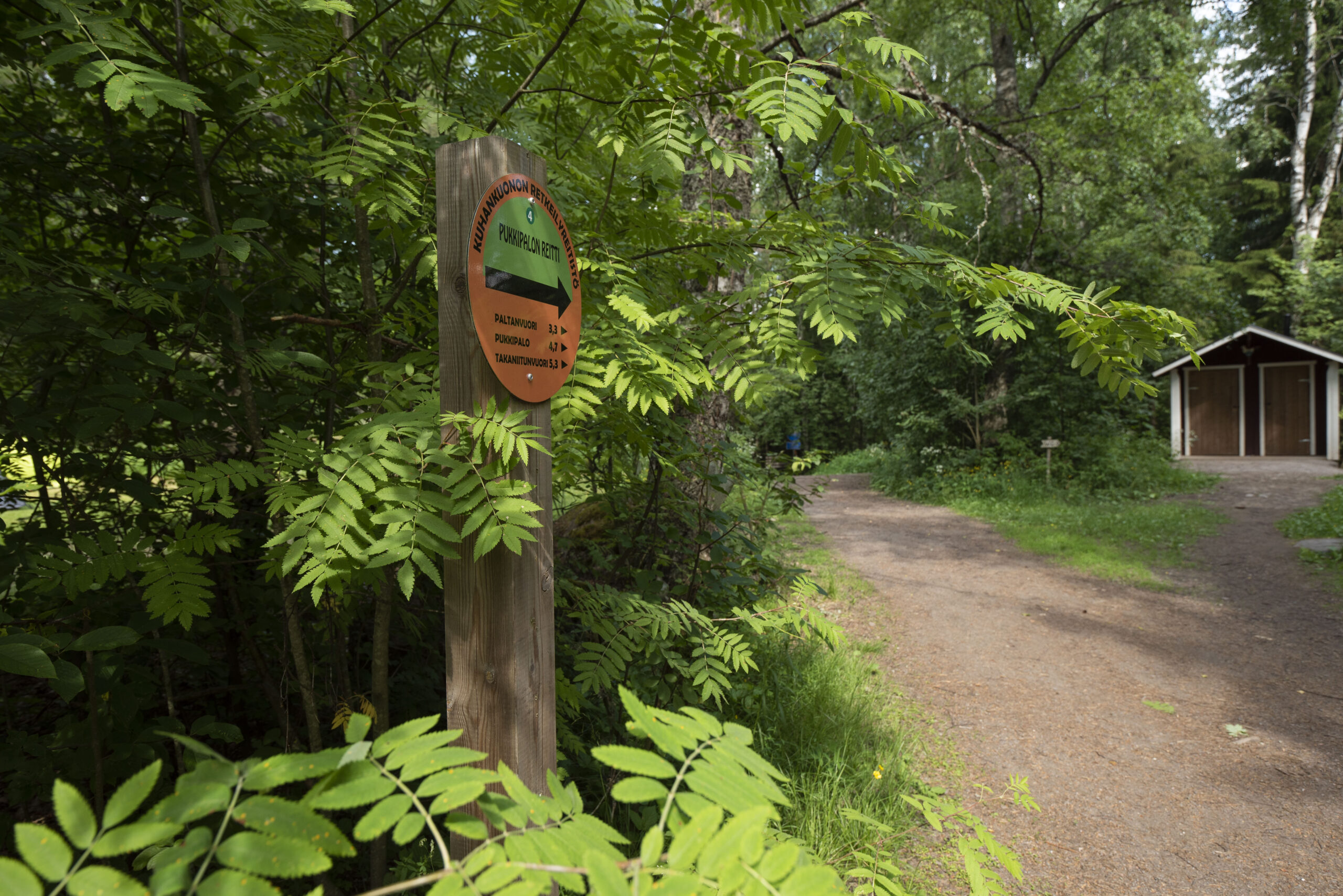
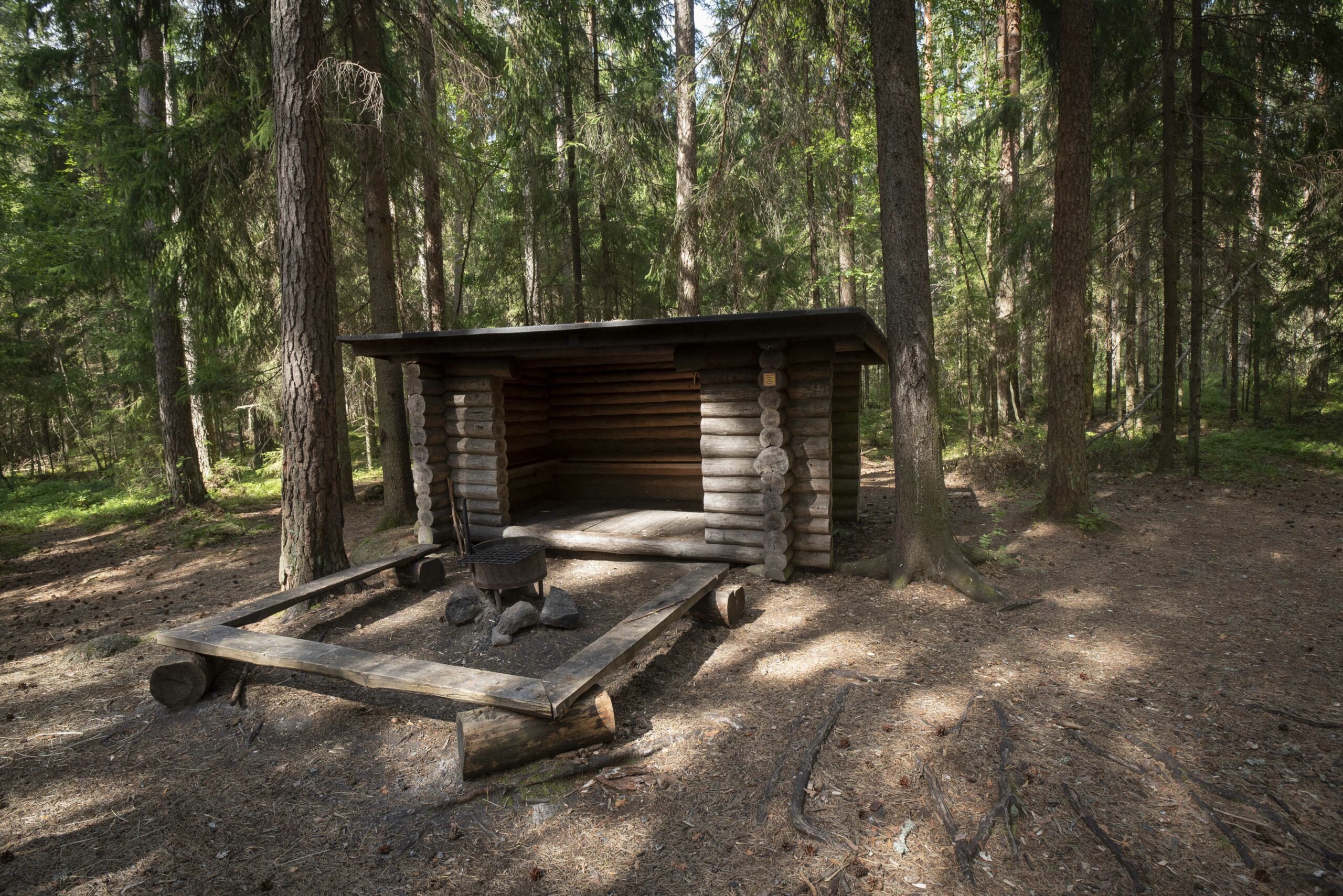
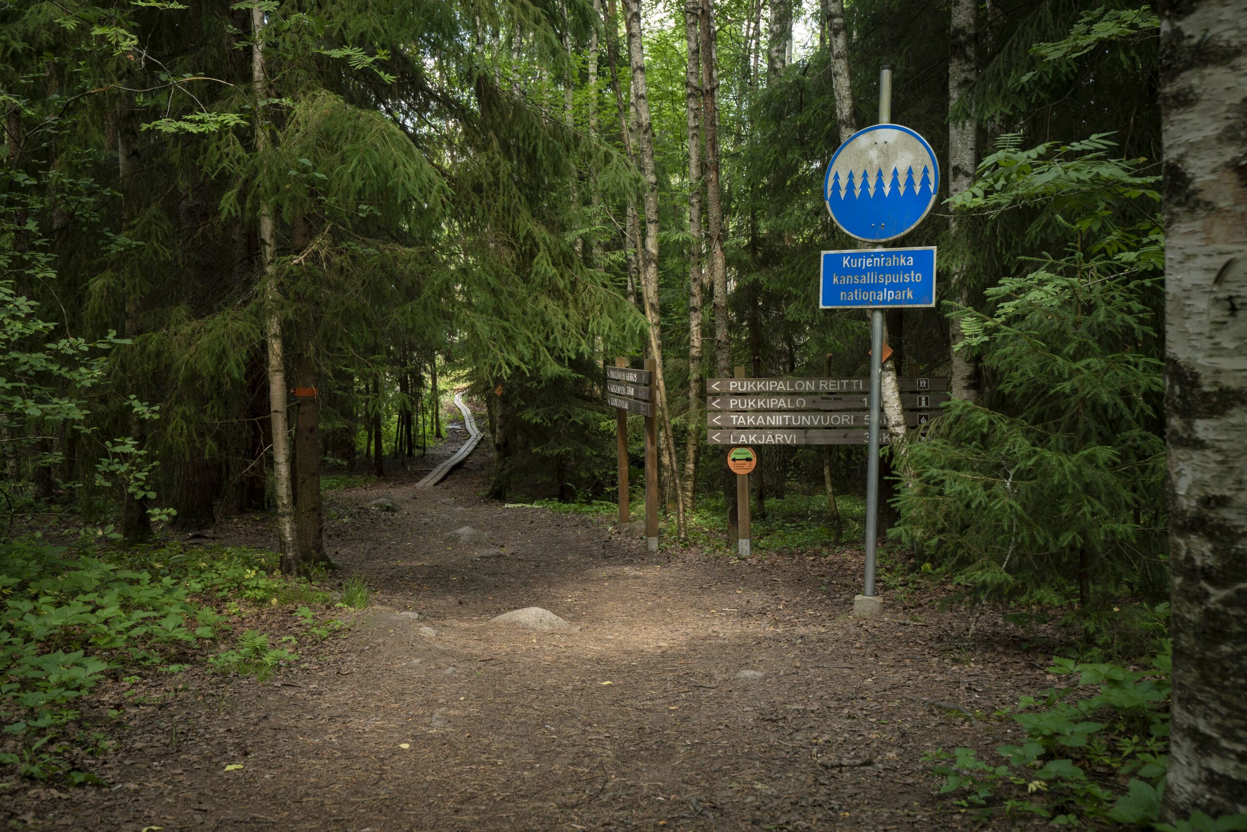
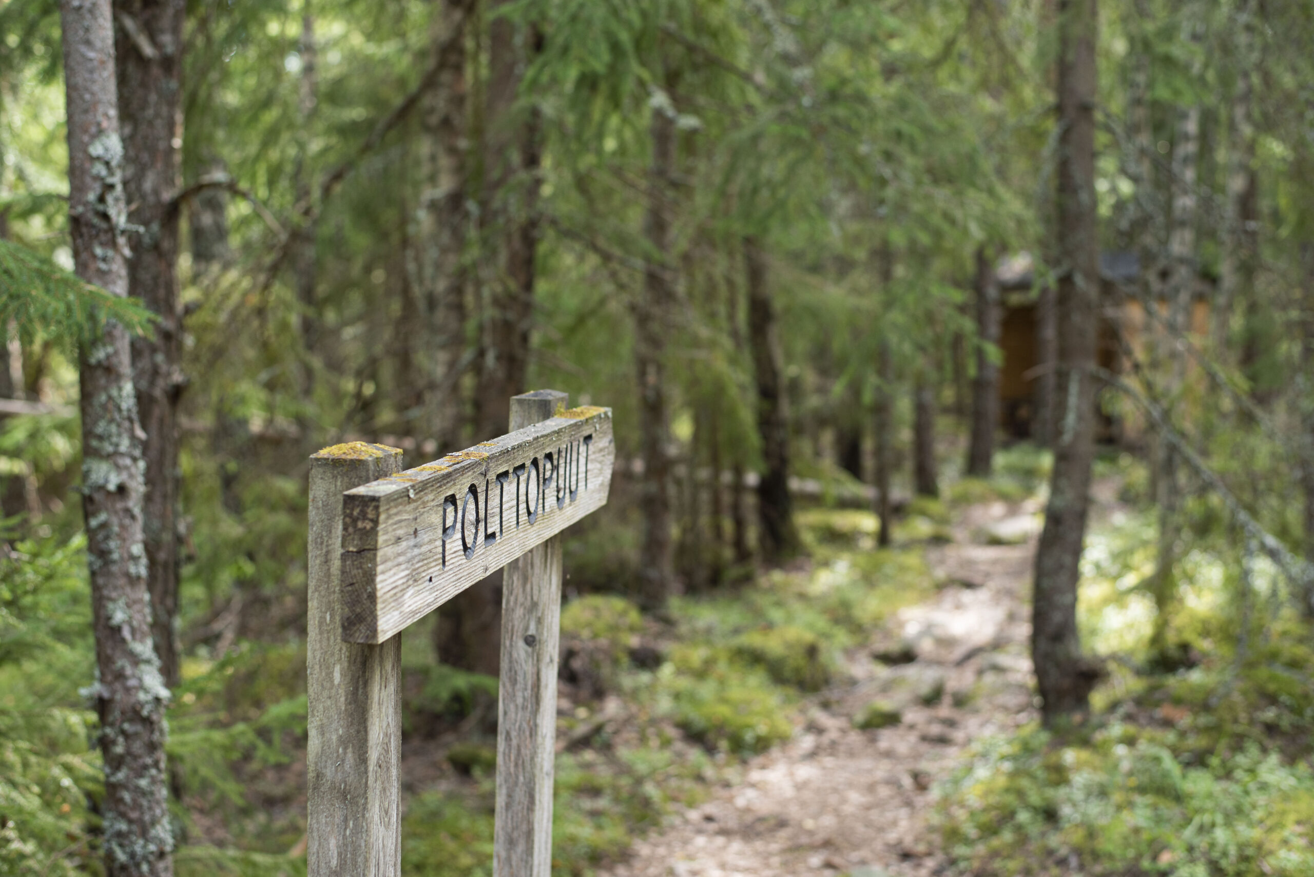
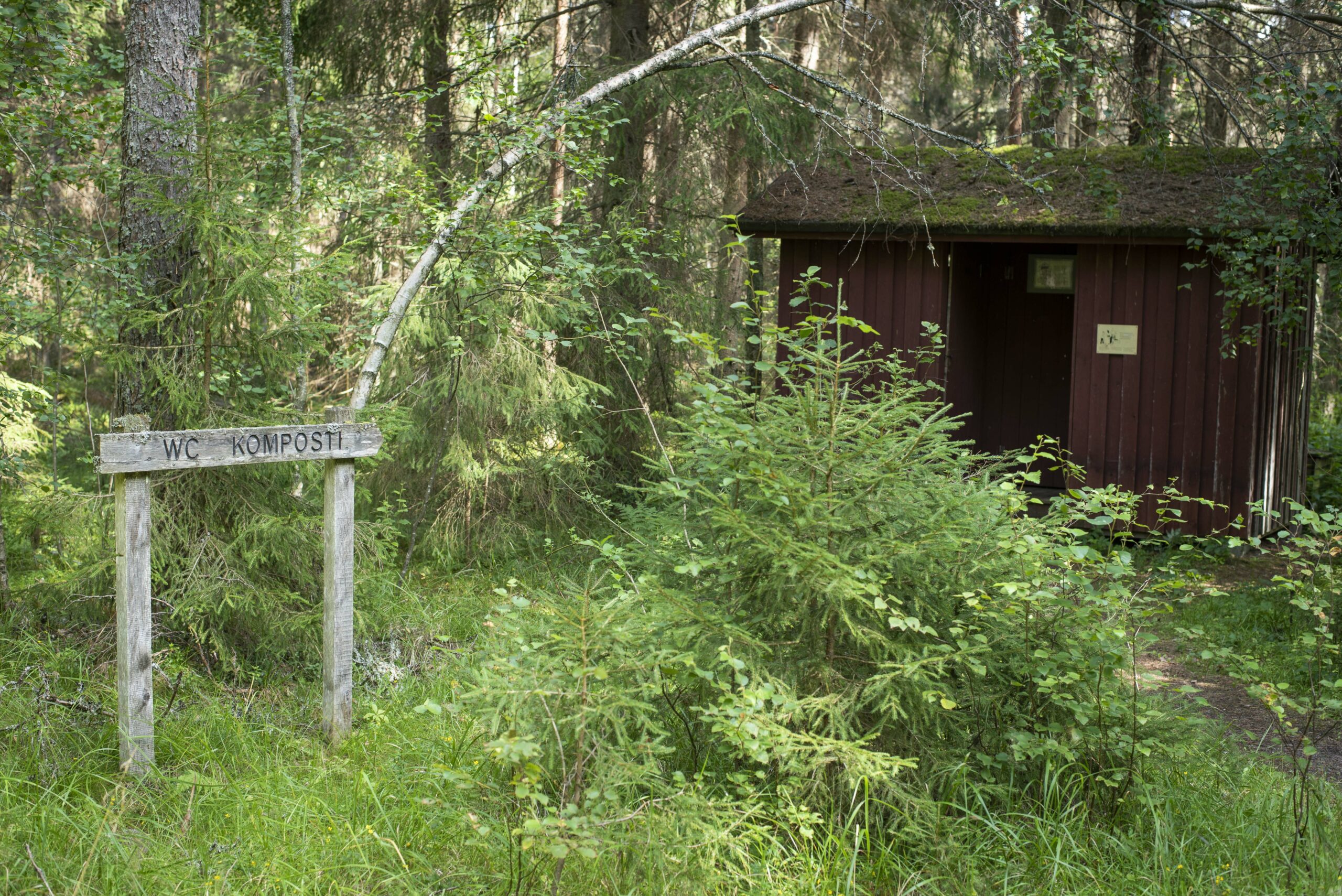
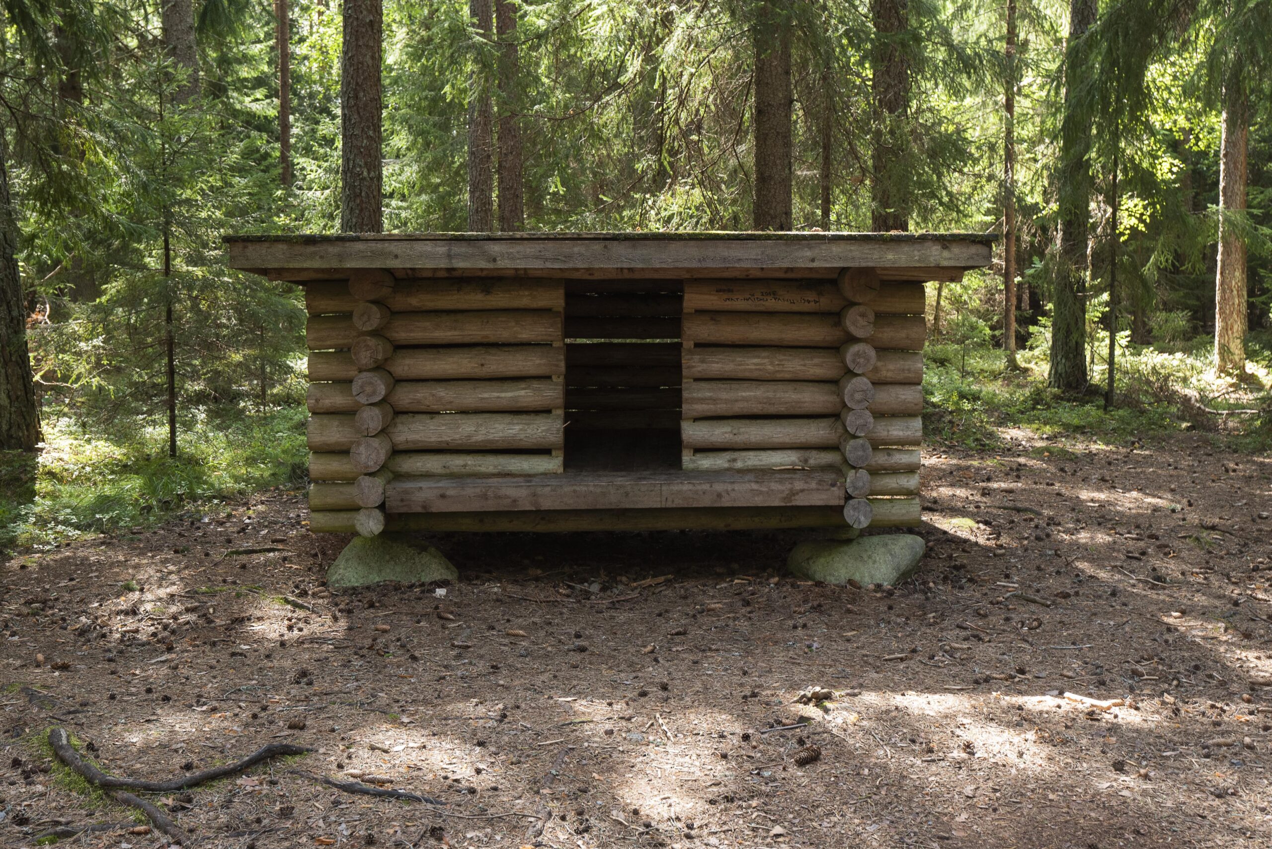
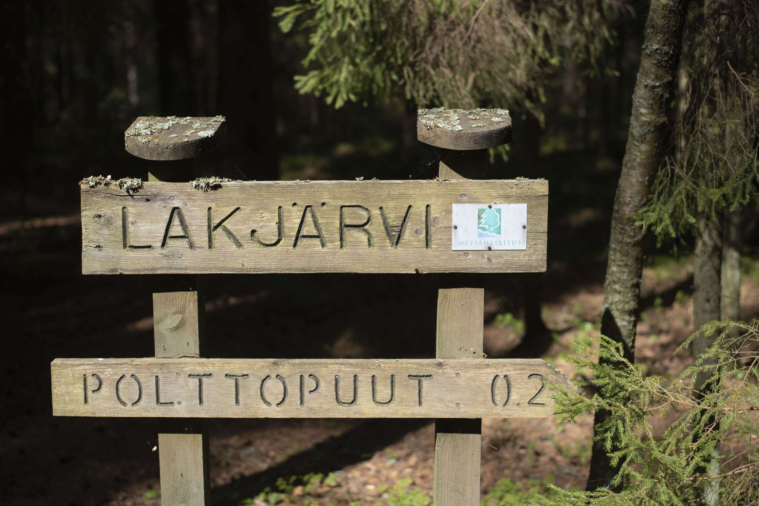
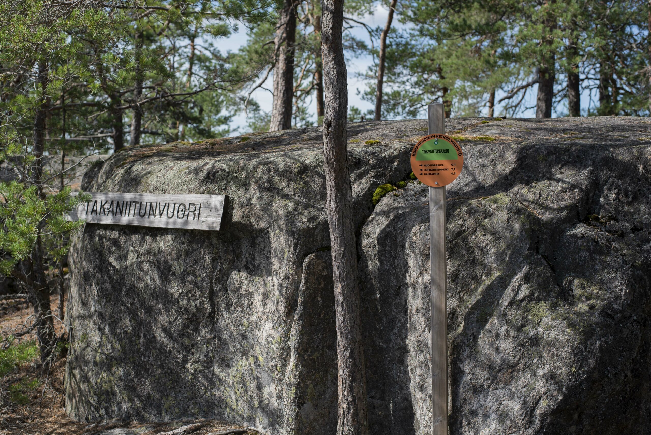
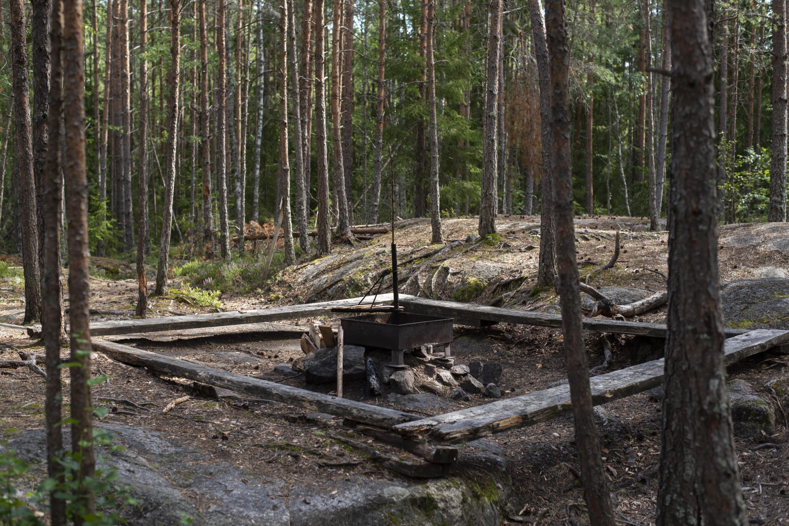
The total length of the route is 9 km if the starting point is Rantapiha on the shore of Lake Savojärvi. For people arriving by car at the Pukkipalo car park, the route is only 5 km. Along the route, sausages can be grilled at the Takaniitunvuori resting place, which has a campfire site and benches, and at Rantapiha, where there is a grill shelter, dry toilet and, on summer weekends, also a small kiosk shop. Along the northern link route that splits off the Pukkipalo trail, Lake Lakjärvi, a black-watered swampy pond, is situated 600 metres from the route. Close to the lake are two lean-to shelters with campfire sites. A trail to the Paltanvuori scenic viewpoint also splits off the route. The Rantapiha car park is cleared of snow in the winter, so it is accessible by car all year round. If there is enough snow, it is possible to ski from the car park to the Kuhankuono cross-country skiing track.
-
P-place: Rantapiha:
P 60° 44.580', I 22° 23.358'
Savojärventie 103, Nousiainen -
P-place: Pukkipalo P-place:
P 60° 44.602', I 22° 21.755'
Paltantie 34 Nousiainen -
Takaniitunvuori campfire place:
P 60° 44.069', I 22° 20.344' -
Lakjärvi shed:
P 60° 44.961', I 22° 20.139'
Arrival instructions
Starting point in the middle of the route at Paltantie 34 and in the eastern part of the route at Savojärventie 103. Not accessible by public transport.
Upcoming events
No event found!